Our Services

New House Construction Survey
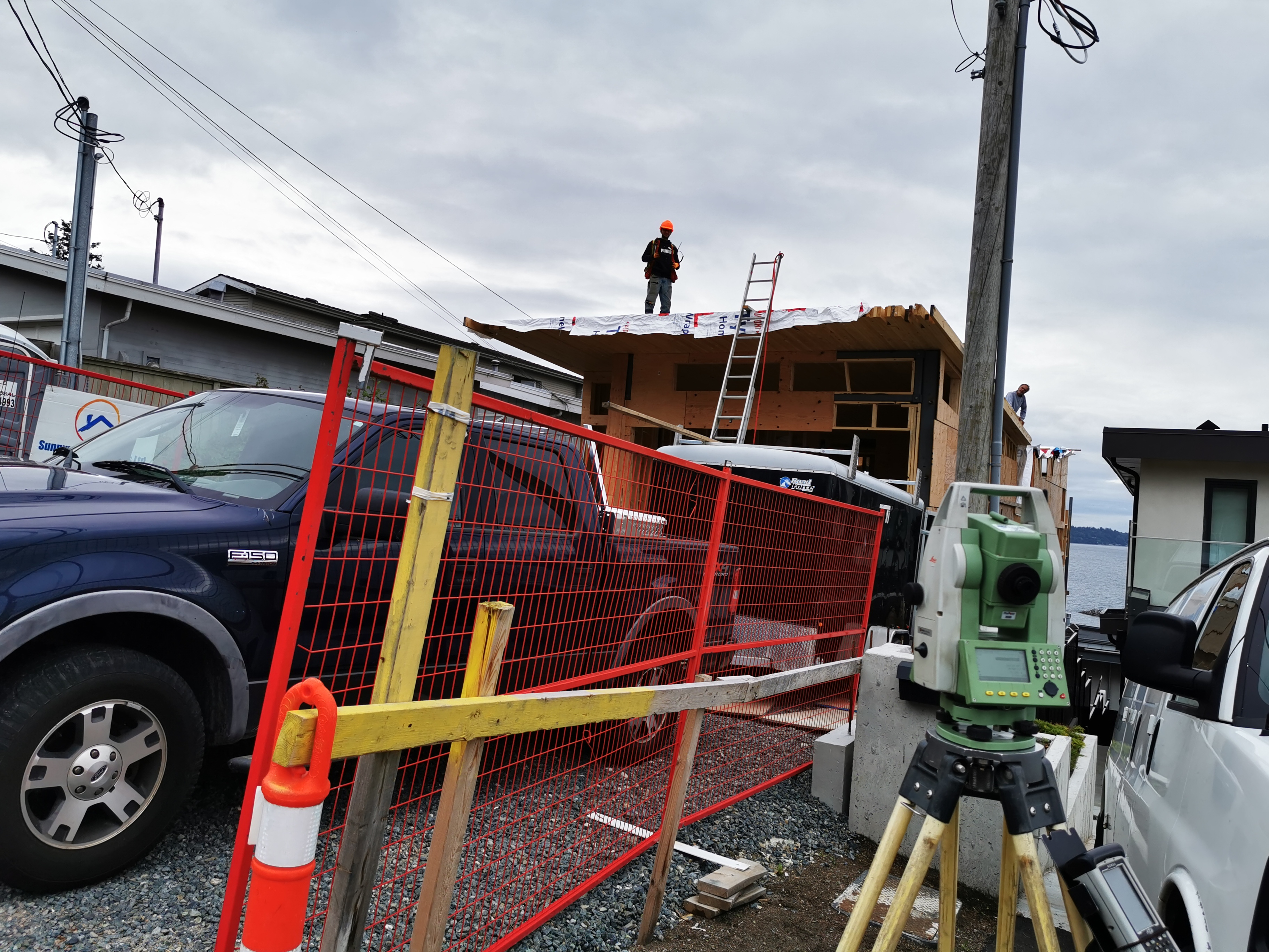
Construction Survey (otherwise known as “lay-out” or “setting-out”) is the construction of reference points and markers that guide the construction of new structures, such as buildings. These markers are usually arranged in accordance with the appropriate coordinate system selected for the project.
Construction surveys consist of 3 trips:
- Excavation (MUST have your house plans approved by the city)
- Foundation pin
- Forms inspection
Certificates are ready by 9am following business day.


Topographic Survey
Topographic surveys performed by a professional land surveyor are used to map and identify the terrain features of a land area. They accurately account for any existing objects on or near the surface, such as buildings, streets, manholes, walkways, retaining walls, utility poles, and trees.

GPS Surveys
GPS surveying is a quick and accurate way of mapping and modeling the physical world, from mountainous landscapes to city skylines. This versatility and utility are why GPS surveying is the standard practice for any surveying operation.
![]()
Strata Complex Survey
Strata Complex Survey for any multiple unit structure from simple duplex to multi-phase townhomes and condominium projects to a commercial tilt. We have extended experience with strata plans, amendments and subdivisions.
![]()
Subdivision Survey
Subdivision survey is the process of splitting a tract of land into smaller parcels. Whether you have 2 or 2000, we we will be happy to provide you with a quote.


